
01 / INSIGHT BEFORE INVESTMENT
Planning & Modeling
Understand the site. Explore the possibilities.
EXPLORE OUR PLANNING & MODELING EXPERTISE
Hydrology and Hydraulic (H&H) Modeling
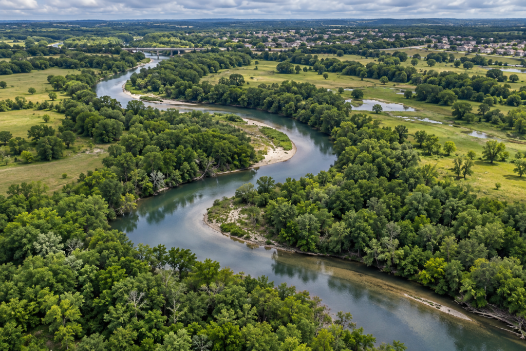
We develop hydrologic and hydraulic models to understand runoff, flow paths, water levels and system capacity. Existing and proposed conditions can be compared to inform drainage improvements, evaluate flood impacts and support engineering decisions.
Infrastructure Planning and Drainage Master Plan Studies
We assess drainage and infrastructure needs across sites, neighborhoods and larger service areas. The work brings together existing conditions, capacity constraints and improvement alternatives to help clients prioritize projects and plan phased investment.
Feasibility Studies and Conceptual Design Assessments
We examine site conditions, available information and project constraints before detailed design begins. Concept layouts and preliminary assessments help identify feasible approaches, information gaps and the next engineering steps.
Drainage Impact and Mitigation Analysis
We evaluate how proposed development or improvements may change runoff and affect surrounding drainage systems. The analysis helps identify detention, conveyance or other mitigation measures and document the basis for the proposed approach.
Stormwater Detention Conveyance Evaluations
We assess detention storage, outlet performance and the capacity of channels, pipes and other conveyance features. Comparing alternatives helps determine how runoff can be stored and released within the constraints of the receiving system.
Floodplain Mapping and Management Studies
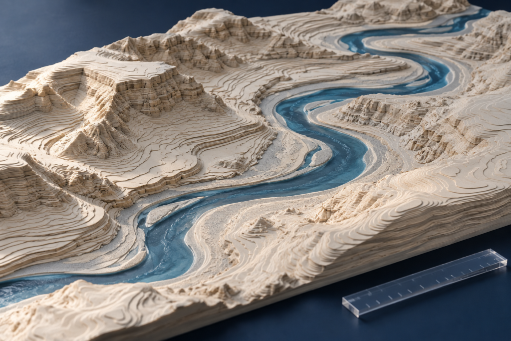
We map flood hazards and interpret modeled water levels, terrain and floodplain boundaries. These studies help clients understand site exposure, evaluate development constraints and support floodplain management decisions.
Water Distribution and Water Quality Modeling
We use modeling to evaluate water distribution system behavior, including flow, pressure and water quality considerations appropriate to the scope. Results can support capacity planning, identify system constraints and help compare improvement alternatives.
Wastewater Modeling
We assess wastewater collection system flows and hydraulic capacity using the available network and operational data. Modeling helps identify bottlenecks, evaluate proposed connections and compare improvements needed to support future demand.
GIS Mapping and Spatial Data Analysis
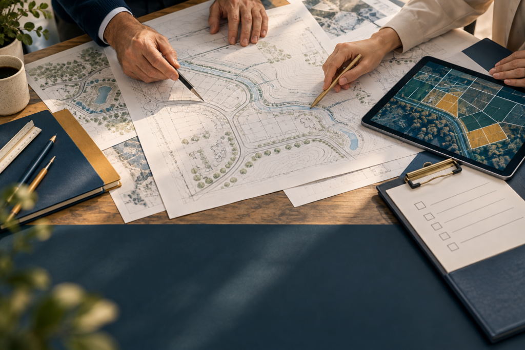
We organize and analyze geographic information such as terrain, drainage networks, land use and infrastructure. GIS maps and spatial datasets help teams understand site relationships, identify constraints and communicate engineering findings.
Data Visualization and Evaluation
We turn technical datasets and model results into clear maps, charts and visual summaries. The work helps clients compare conditions and alternatives, recognize patterns and understand the information behind an engineering recommendation.
02 / IDEAS INTO INFRASTRUCTURE
Design Services
Shape the solution. Resolve the details.
EXPLORE OUR DESIGN EXPERTISE
Stormwater Drainage Design
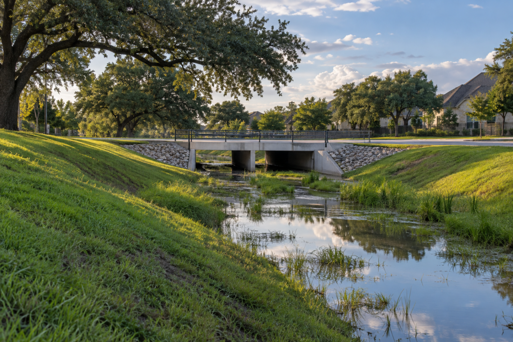
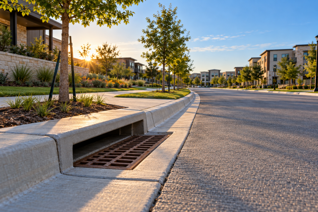
We develop drainage designs that connect runoff collection, conveyance and outfall conditions. The scope may include storm sewers, inlets, culverts and roadside ditches, coordinated with site grading and the receiving drainage system.
Roadway and Site Grading Design
We develop roadway and site grading plans that coordinate elevations, drainage paths and proposed improvements. The design considers existing ground, access, adjacent properties and utility constraints to support a workable site layout.
Flood Control and Channel Improvements
We evaluate and design channel and flood-control improvements to address conveyance constraints and flood risk. Proposed measures are considered in relation to upstream and downstream conditions, site limitations and applicable review requirements.
Detention Basin Design
We develop detention basin layouts, storage configurations and outlet designs to manage stormwater runoff. The design coordinates basin geometry, grading, discharge controls and receiving-system conditions, supported by engineering calculations.
Stormwater Pollution Prevention Plans (SWPPP)
We prepare project-specific stormwater pollution prevention plans to address erosion, sediment and construction-related pollutant controls. Plans identify proposed control measures and implementation considerations for the project’s construction activities.
Construction Plans, Specifications, and Bid Package Preparation
We prepare coordinated civil drawings, technical specifications and bid documents for the agreed project scope. These materials communicate the design, define the work and help owners and contractors understand project requirements during procurement.
03 / COORDINATION THAT CONNECTS
Management & Compliance
Navigate requirements. Keep the work moving.
EXPLORE OUR MANAGEMENT & COMPLIANCE EXPERTISE
Floodplain Development Permitting and Regulatory Coordination
We support floodplain development applications and coordinate technical information with reviewing agencies. Services may include engineering exhibits, supporting analyses and responses to review comments to help move a project through the permitting process.
Stakeholder and Community Engagement
We help project teams explain engineering issues, alternatives and proposed improvements to stakeholders and community audiences. Clear exhibits and technical input support informed discussion and help bring relevant feedback into project development.
Interactive Database and Asset Management Systems
We organize infrastructure and project information into structured databases and interactive asset information tools. Linking records, locations and relevant attributes helps clients retrieve information, maintain consistent records and support planning and maintenance decisions.
Hydrology & hydraulics
HEC-HMS · HEC-RAS 1D/2D · XPSWMM · InfoWorks ICM
Spatial analysis & civil design
ArcGIS Pro · Civil 3D
Software selection follows the site, available data, project scope and reviewing agency requirements.

WATER. LAND. COMMUNITY.
Good engineering.
Better possibilities.
Civil engineering shaped around your site, your goals and the communities it serves.